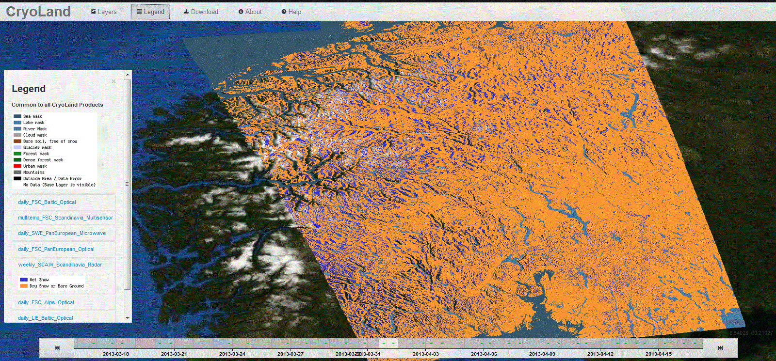
This product provides a binary map of melting or wet snow over Scandinavia based on spaceborne radar data. Additional classes are wet snow, snow free, and open water areas. The resolution is in the order of 20 to 100 m. The product coverage depends on the available radar image acquisitions. The product is updated one to two times per week per pixel, and is provided daily as raster file.
© ![]()
____________________________________
Spatial Resolution: 50 m
Temporal Frequency: Daily
Data Base: Radar Data
____________________________________