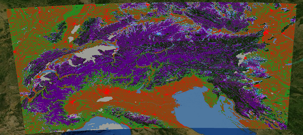
The Fractional Snow Cover Product over the Alps is generated using an algorithm optimized for unforested, high alpine terrain, including a correction for topographic effects. Medium resolution optical satellite data and a digital elevation model are used as data base.
This product has the classes fractional snow cover (scaled between 0 and 100 %), clouds, water surfaces (lakes, rivers, sea), and no data. The spatial resolution of the product is 250 m. The accuracy of the fraction snow cover estimation is ca. 15% at single pixel scale. The product is stored as raster file, with Integer Codes for Classes. The product is derived from multi-spectral optical satellite data, and provides daily snow information only for cloud free areas.
© ![]()
____________________________________________________
Spatial Resolution: 250 m
Temporal Frequency: Daily
Data Base: Optical Satellite Data
and Digital Elevation Model
____________________________________________________