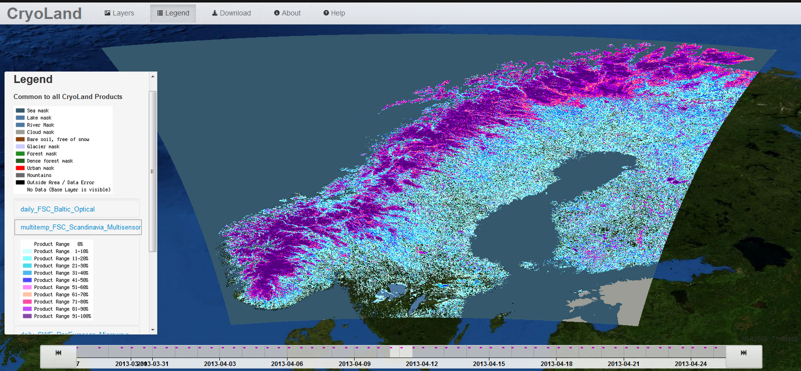
The Fractional Snow Cover products over Scandinavia are based on multi-temporal optical data and on multi-temporal and multi-sensor satellite data, including optical and radar.
The products have the classes fractional snow cover (scaled between 0 and 100 %), water surfaces (lakes, rivers, sea), and no data values. Multi-temporal products from optical data only are used to reduce the frequent cloud cover over Scandinavia. For snow maps derived from multi-temporal data of combined optical and radar sensors cloud covered pixels do not affect the products at all. The products are provided as raster files (GeoTIFF), with Integer codes for classes. The products are provided with 250 m spatial resolution, and updated daily based on a multi-temporal approach.
© ![]()
![]()
![]()
____________________________________________________
Spatial Resolution: 250 m
Temporal Frequency: Daily
Data Base: Multi-Temporal Optical and Multi-Temporal/Multi-Sensor
(Optical + Radar) Satellite Data
____________________________________________________